Transforming weather observations into climate risk metrics
February 15, 2024
Transforming hourly weather records into climate risk metrics isn’t alchemy. It’s a scientific journey that turns raw data into golden insights, guiding us through the maelstrom of extreme weather.
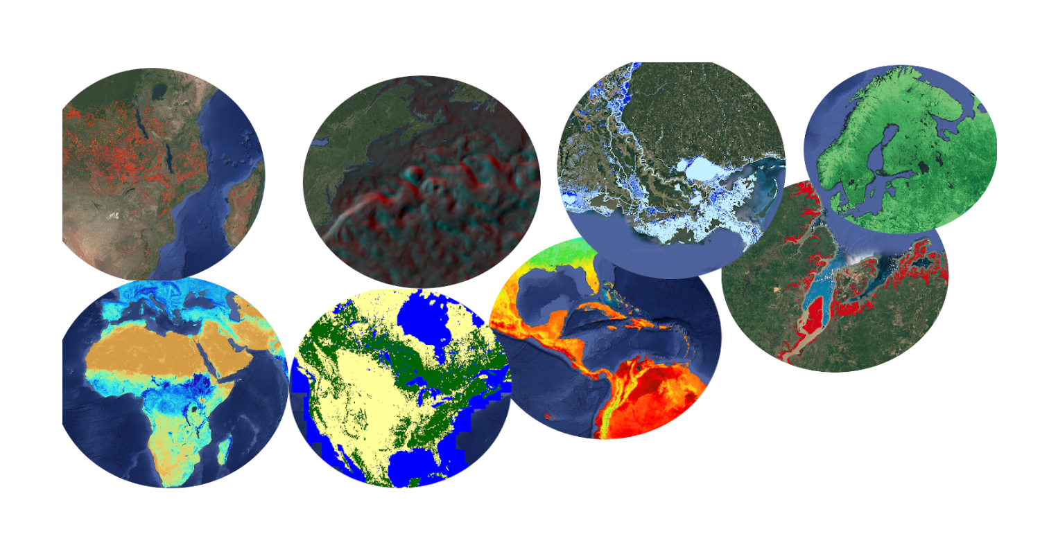
Raw Data Collection: The journey begins with collecting hourly measurements of temperature, precipitation, humidity, wind speed, and atmospheric pressure from a wide array of sources, including satellites and radar systems.
Identification of Extreme Weather Events: We sift through this data to find patterns—like detectives piecing together clues. Short duration heavy rain may signal flood potential, while prolonged dry and hot spells hint at wildfire risk. These events are tagged and analyzed to understand their genesis, frequency, intensity, and duration.
Statistical Analysis and Trend Detection: Researchers analyze weather data to detect trends and changes in the frequency & amplitude of extreme events. They unearth trends and insights using techniques like time series analysis, regression models, and Fourier decomposition.
Digital Twins and Climate Modeling: We don our virtual reality headsets, using digital twins and climate models from projects like CMIP6 to project future scenarios. These simulations explore different pathways our climate might take, and the influence of greenhouse gas emissions and other factors.
Risk Rating: Risk metrics are then developed by integrating the statistical analysis of historical climate data together with future climate projections. For flood risk, metrics might include the probability of exceedance for certain precipitation thresholds, the anticipated frequency of heavy rain events, and the potential for riverine or coastal flooding in specific locations. For wildfire risk, metrics could encompass the likelihood of conditions conducive to wildfires, such as prolonged drought, high temperatures, and strong winds.
Application to Risk Management: Finally, these metrics are used by insurance companies, investors, and property owners to mitigate, hedge and anticipate extreme events. For insurance, this involves adjusting premiums based on projected flood or wildfire risks. Governments use this knowledge for infrastructure planning, emergency preparedness, and climate adaptation strategies.
There are no observations to assimilate for the period 2025-2050 – the satellites haven’t passed yet
AI-powered extreme weather analytics to inform real estate and infrastructure investors on the business-specific benchmarks.